


Navigate climate-driven physical risks and regulatory challenges with independent geospatial data combined with AI.
Unveil investment opportunities and volatility insights shaped by the energy transition, geopolitics, and the AI revolution.
Tailored analytics and models to solve your most complex business challenges. Cross the chasm from prototype to production faster.
///
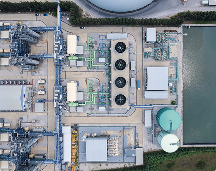
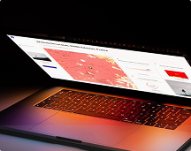
Make better decisions on energy and the environment. Kayrros geospatial AI independently tracks human activity and its footprint worldwide
Navigate climate-driven physical risks and regulatory challenges with independent geospatial AI technology
Spot trade and investment opportunities amid economic, regulatory and geopolitical unpredictability, thanks to the twin revolutions in Earth Observation and AI
PARIS, FRANCE—21 May 2026—Market data and intelligence provider Energy Aspects has completed the acquisition of Kayrros, the Paris-based energy analytics and satellite data company. The deal is the next step in Energy Aspects’ growth plan. It strengthens the company’s data and analytics capabilities at a time when
///
Advances in AI, satellite imaging and Earth observation give us near-realtime data on our climate impact, physical risks, supply chains and energy flows. Kayrros geospatial AI helps businesses, investors and governments see what’s happening, act faster, and make better decisions at a time of mounting uncertainty.
///
Largest mapped database of millions of industry assets and natural ecosystems
Strong scientific foundation, validated by a sophisticated customer base
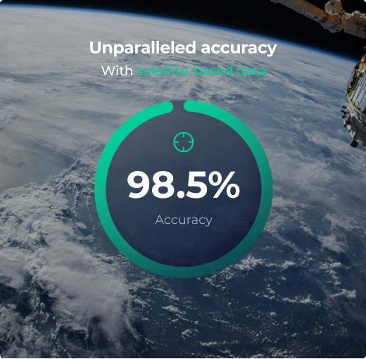
Proprietary algorithms combining value and accuracy thanks to data fusion.
Source-agnostic approach delivering the best actionable data at the lowest possible cost
///
Science, AI and realtime satellite imagery transform global climate governance.
///